

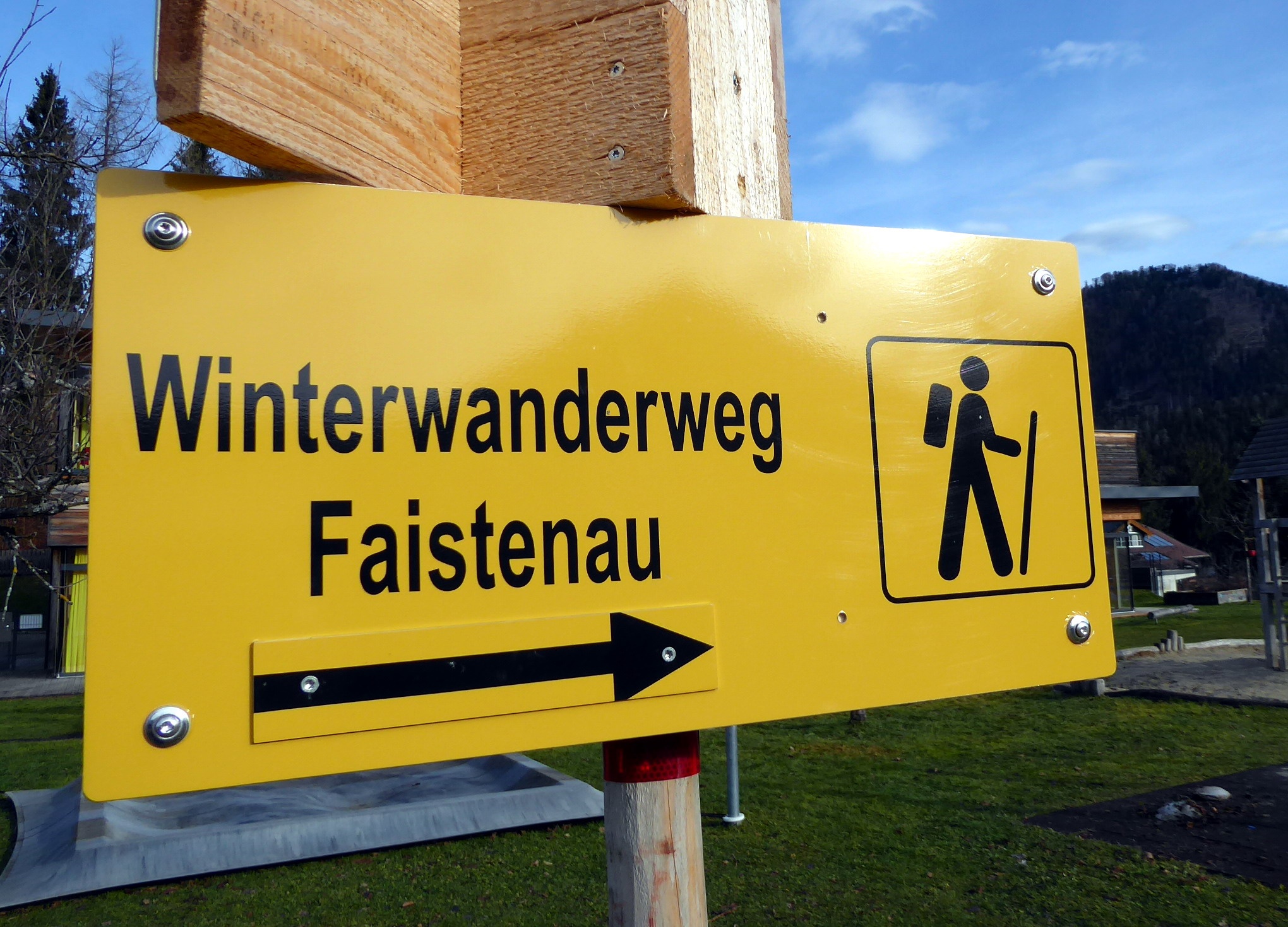

Winter hiking trail Faistenau – Hamoosau
Die schnellste Verbindung zu diesem Ziel
Winter hiking trail Faistenau – Hamoosau
THE VARIED HAMOOSAU TRAIL AROUND FAISTENAU IS AN EXPERIENCE IN EVERY SEASON.
Faistenau is a true paradise for cross-country skiers. The network of trails extends from the floodlit trail at Kugelberg to the romantic Tiefbrunnau. Winter walkers are also considered, who may use marked sections along the trails. The best-known winter hiking route is the one-hour, continuously marked panorama trail. One access point is at the Faistenau Schule stop. Even when there is too little snow for accompanying trail walks, there are great winter hiking trails around Faistenau. One such is the eight-kilometer loop around the district of Hamoosau, which changes from the shaded side of Kugelberg to the sunny side. Because it also crosses ditches, it involves a fair amount of elevation gain. The circular route runs on cleared forestry and hiking paths as well as along access roads.
leicht
2h 45min

8.02 km

Rundtour

Faistenau

Jahreszeiten


Wegbeschreibung
The starting point is the bus stop Faistenau Schule. From there, past the school and the trail entrance to the former Bramsaubräu and slightly above to the left, follow the Kugelberg circular trail. A short 40-minute variant branches off after 700 m downhill to the left onto Bichlstraße and follows it on the right side to Lohstraße, along which it returns to the village. The large loop leads on the Kugelberg circular trail with many quiz questions to a flock of happy chickens including a sales stand, shortly afterwards the path branches left towards Hintersee, crosses the state road at the Fischerwirt in Vordersee and now follows the signposting 46 “Faistenau via Hamoosau”. After the forest section, it goes up to the state road in Hamoosau (return travel possible from Hamoosau bus stop with bus 157), along it 300 m to the left and then uphill to the right into the Hochfeld settlement. Kathi's Flower Cafe could be a reason for a stopover, but our route diverges at the upper end of the Hochfeld settlement first to the left into Hausernweg, then after 200 m to the right into Kreuzbichlweg and finally left again into Ramsaustraße. After crossing the state road, the loop closes in the direction of Faistenau via Kirchenweg.
Informationen & Kontakt
www.fuschlseeregion.com; www.langlaufdorf.at;
Mag. Christian Heugl
5400 Hallein
Photo credit: Christian Heugl
Anfahrt mit den Öffis
From Salzburg Main Station South Tyrol Square by bus 155 to Faistenau Schule (final stop).
Timetable information and download: Online at www.salzburg-verkehr.at or on your smartphone via the free Salzburg Verkehr app for Android and iOS.
Streckenprofil
Alle vorliegenden Inhalte hat die Redaktion nach bestem Wissen recherchiert. Die Redaktion der Salzburger Verkehrsverbund GmbH kann aber keine Gewähr für die Vollständigkeit, Korrektheit und Aktualität übernehmen. Wir bitten Sie, bei der Ausflugsplanung die Angaben zu überprüfen, da sich Öffnungszeiten, Eintrittspreise oder Informationen ändern können. Haftungsansprüche gegenüber der Redaktion oder der Salzburger Verkehrsverbund GmbH, welche sich auf Schäden materieller oder ideeller Art beziehen, die durch die Nutzung der dargestellten Informationen bzw. Nutzung fehlerhafter und unvollständiger Informationen verursacht wurden, sind grundsätzlich ausgeschlossen.