


From Pfarrwerfen to Bischofshofen
Die schnellste Verbindung zu diesem Ziel
From Pfarrwerfen to Bischofshofen
ON ANCIENT AND BRAND NEW TRANSPORT ROUTES, PAST SEVEN MILLS, THROUGH THE SALZACH VALLEY TO BISCHOFSHOFEN.
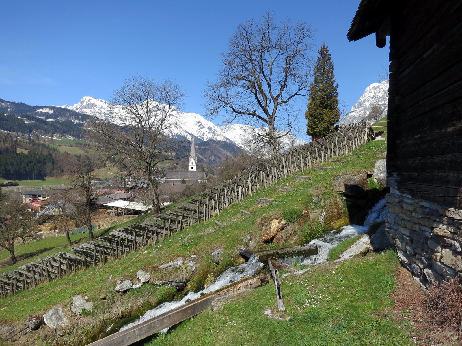
The area between Werfen and Schwarzach is a sought-after settlement location that dates back to the fourth millennium. The reasons can be easily understood on this valley hike. The relatively flood-proof valley expansions provided protection and the tributary side valleys good traffic connections. A stroke of economic luck was the copper deposits discovered on both sides of the Salzach. The Roman settlers also brought innovative ideas from 15 BC onwards. Among other things, besides the sophisticated road construction, these were the highly effective watermills. Both were of great importance for the functioning infrastructure. In Pfarrwerfen, the Roman Vocario, there was a horse change station, as well as grain cultivation and mills in the neighborhood. The seven mills located on our route remind of the former significance. The mills lined up one behind the other like a string of pearls were just saved in time from decay and can be visited. But today’s infrastructure also requires modern transport routes. These are, above the route, the Tauern motorway and below, the multi-track railway line. Between them runs the old Roman road, which we follow in sections.
leicht
2h 30min

7.40 km

Familienfreundlich

A nach B

Pfarrwerfen

Jahreszeiten


Wegbeschreibung
Starting point is the Pfarrwerfen train station. A somewhat faster but more monotonous route to Bischofshofen can also simply follow the Tauern cycle path along the Salzach. There is more to see on the route that turns right along the access road into the pretty town center for 700 meters and then follows the sign "Open-air museum 7 Mills" to the right before the Hasslwanter bakery. The turnstile in front of the mills opens after inserting coins or tokens (available at the bakery). At the top end of the steep mill path, the route leads to the right and then continues into the Römerstraße service road. From there, the direction "Bischofshofen Kreuzberg-Mauth" branches off to the right. Back in the valley floor, the path leads through an industrial area and turns right before the Lottermoser carpentry. Passing the premises of the waste disposal association, the Fritzbach is crossed and the route then follows the Tauern cycle path for 700 meters to the junction "Recreational area circular route" to the left. Along the sports field, the path stays on the eastern Salzach side and leads 1.3 km later over the new Stegfeld pedestrian bridge directly into the modern Bischofshofen station building.
Informationen & Kontakt
Mag. Christian Heugl
5400 Hallein
cheugl@a1.net
Photo credit: Christian Heugl
Anfahrt mit den Öffis
From Salzburg main station direct connection with S 3 to Pfarrwerfen station. Return from Bischofshofen station.
Timetable information and downloads: Online at www.salzburg-verkehr.at or on your smartphone via the free Salzburg Verkehr app for Android and iOS.
Streckenprofil
Alle vorliegenden Inhalte hat die Redaktion nach bestem Wissen recherchiert. Die Redaktion der Salzburger Verkehrsverbund GmbH kann aber keine Gewähr für die Vollständigkeit, Korrektheit und Aktualität übernehmen. Wir bitten Sie, bei der Ausflugsplanung die Angaben zu überprüfen, da sich Öffnungszeiten, Eintrittspreise oder Informationen ändern können. Haftungsansprüche gegenüber der Redaktion oder der Salzburger Verkehrsverbund GmbH, welche sich auf Schäden materieller oder ideeller Art beziehen, die durch die Nutzung der dargestellten Informationen bzw. Nutzung fehlerhafter und unvollständiger Informationen verursacht wurden, sind grundsätzlich ausgeschlossen.