

From Bruck to Zell am See
The fastest route to this destination
From Bruck to Zell am See
The world-famous Großglockner High Alpine Road begins in Bruck, but also a varied route to Zell am See.
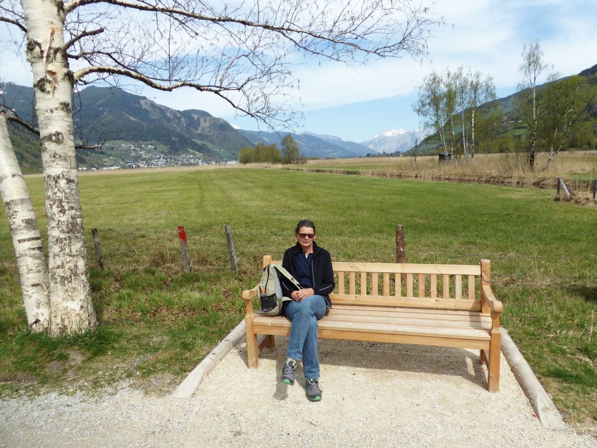
With the opening of the prestigious Großglockner High Alpine Road in August 1935, the place Bruck in Pinzgau changed its name to Bruck an der Glocknerstraße. On the left bank of the eponymous Salzach bridge, opposite the traditional inn „Lukashansl“, stands the kilometer stone „0“ of the 47.8 km-long Alpine road. Until the completion of the bypass in 1981, the entire excursion traffic actually flowed through the small town. Lukashansl had already benefited from the passing traffic centuries earlier, as it was also the postcoach station. With the opening of the Gisela Railway in 1875, today’s Westbahn, the cards were reshuffled. Zell am See quickly became the easily accessible tourist center of the region. The hike from Bruck to Zell am See makes use of old and new traffic routes: after arriving on the Westbahn, a tiny piece of Glocknerstraße follows, the wonderful Knappenbühelweg, the Thomas-Bernhard-Weg through the lowlands of the Zell wet meadows and the lakeside promenade up to Zell am See station. Variety is guaranteed.
easy
2h 0min

6.92 km

Family-friendly

A to B

Bruck-Fusch

Seasons


Directions
From the historic station building in Bruck, the route leads along Bahnhofsstraße, turning right once, passing the Gothic church into the town center and crossing the „Glocknerbrücke“ over the Salzach. At the kilometer stone „0“ the route runs to the left and 100 m later, shortly ascending slightly, to the right (path 1, WiesenKönigReich). Fischhorn Castle appears far away, but path 1 meets the country road and follows this on the right side for 1.3 km until the turn-off to the Thomas-Bernhard-Weg („Lake circuit route“) to the left. The adjoining wetland area called „WiesenKönigReich“ is a valuable, 220 ha large natural area for amphibians, ground-nesting birds and migratory birds. More than 160 bird species have already been sighted. The district of Schüttdorf adjoins the nature reserve; the route now follows Karl-Vogt-Straße and turns right to the lakeshore. After 1.2 km, Hans Weyringer’s animal figures made of green serpentine enchant, as well as the direct access to Zell am See station branching off here.
Information & contact
www.bruck-fusch.at, www.zellamsee-kaprun.com
Mag. Christian Heugl
5400 Hallein
christian.heugl@gmail.com
Photo credit: Christian Heugl
By public transport
By REX or S 3 to Bruck/Glocknerstraße – Fusch station. Return from Zell am See station.
Timetable information and download: online at www.salzburg-verkehr.at or on your smartphone via the free Salzburg Verkehr app for Android and iOS.
Route profile
All content has been researched by the editorial team to the best of their knowledge. However, the editorial team of Salzburger Verkehrsverbund GmbH cannot guarantee the completeness, accuracy, or timeliness of the information provided. We kindly ask you to verify the details when planning your trip, as opening hours, admission prices, or other information may change. Any liability claims against the editorial team or Salzburger Verkehrsverbund GmbH relating to material or non-material damages arising from the use of the information provided, or from the use of incorrect or incomplete information, are generally excluded.