


Hiking in Obertauern
Die schnellste Verbindung zu diesem Ziel
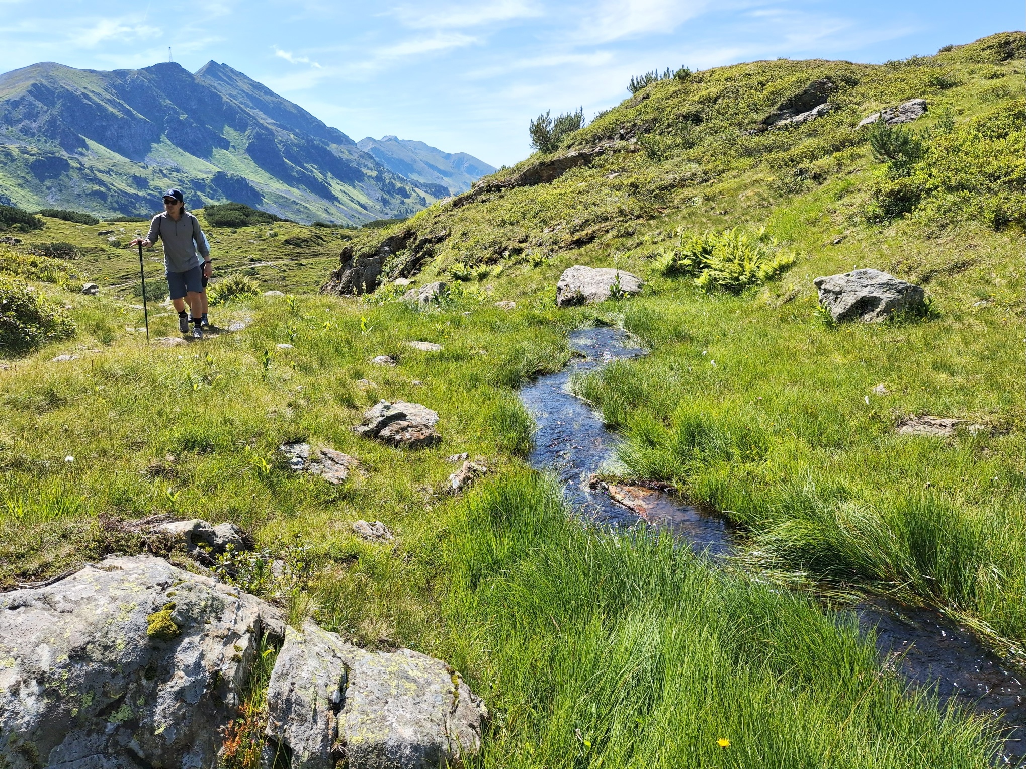
Hiking in Obertauern
From the pass height past Hundsfeldsee to the Seekarscharte (2022 m) and back via the Grünwaldsee.
In winter, Obertauern spoils with spectacular slope experiences, in summer the high-altitude town scores with a generous hiking offer. The paths are much quieter then, and alpine animals graze on the slopes. Also, the many small lakes, which rest unnoticed under the thick snow cover in winter, become visible and some even invite you for a swim on hot days.
Direct arrival and details at: salzburg-erfahren.at
mittel
3h 0min

8.53 km

Familienfreundlich

A nach B

Obertauern

Jahreszeiten


Wegbeschreibung
From the Obertauern Passhöhe stop, the route leads a few meters south to the Seekarscharte and then turns left into Seekarstraße. Past the bird sanctuary Hundsfeldmoor and Hundsfeldsee, the path reaches the operated Dikt`n Alm and the Seekarhaus along the access road after 45 minutes. The further, just under three-quarter-hour ascent to the cross on the Seekarscharte gets steeper and can follow either the service road or the natural path. On the same way back, shortly before reaching Seekarhaus, the direction "Grünwaldsee" branches to the right. Once there, the descent can either be comfortably done with the Grünwaldkopfbahn cable car, or the decision is made to take the branching footpath (sign "Grünwaldkopfbahn 50 min."). Diagonally opposite the valley station is the bus stop.
Informationen & Kontakt
Mag. Christian Heugl
5400 Hallein
christian.heugl@gmail.com
Photo credit: Christian Heugl
Anfahrt mit den Öffis
From Radstadt station (Bahnhofstraße) by bus 280 to Obertauern Passhöhe. Return by bus 280 from Obertauern Grünwaldkopfbahn valley station.
Timetable information and download: online at www.salzburg-verkehr.at or on your smartphone via the free Salzburg Verkehr app for Android and iOS.
Direct arrival and details at: salzburg-erfahren.at
Streckenprofil
Alle vorliegenden Inhalte hat die Redaktion nach bestem Wissen recherchiert. Die Redaktion der Salzburger Verkehrsverbund GmbH kann aber keine Gewähr für die Vollständigkeit, Korrektheit und Aktualität übernehmen. Wir bitten Sie, bei der Ausflugsplanung die Angaben zu überprüfen, da sich Öffnungszeiten, Eintrittspreise oder Informationen ändern können. Haftungsansprüche gegenüber der Redaktion oder der Salzburger Verkehrsverbund GmbH, welche sich auf Schäden materieller oder ideeller Art beziehen, die durch die Nutzung der dargestellten Informationen bzw. Nutzung fehlerhafter und unvollständiger Informationen verursacht wurden, sind grundsätzlich ausgeschlossen.